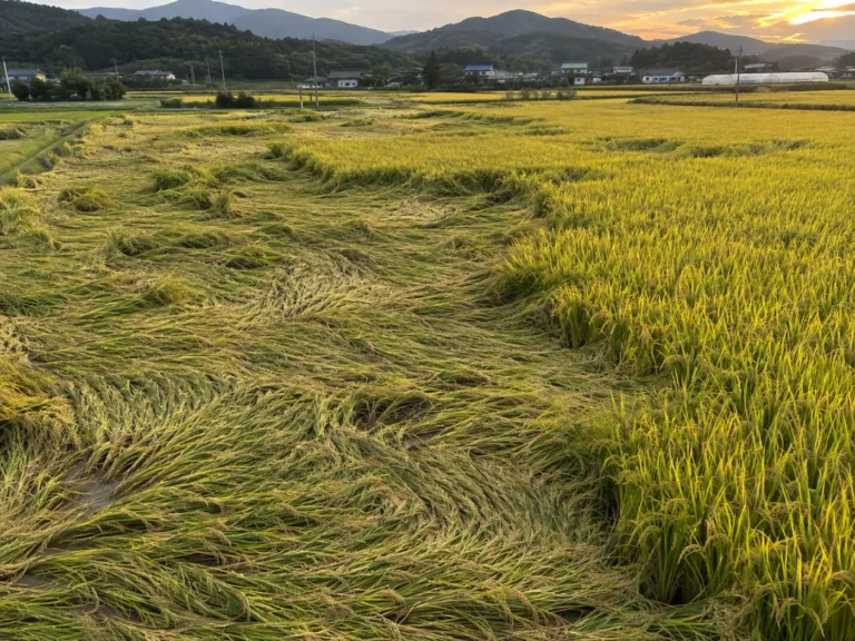
Finding flooded paddies with radar satellites, through monsoon and typhoon cloud
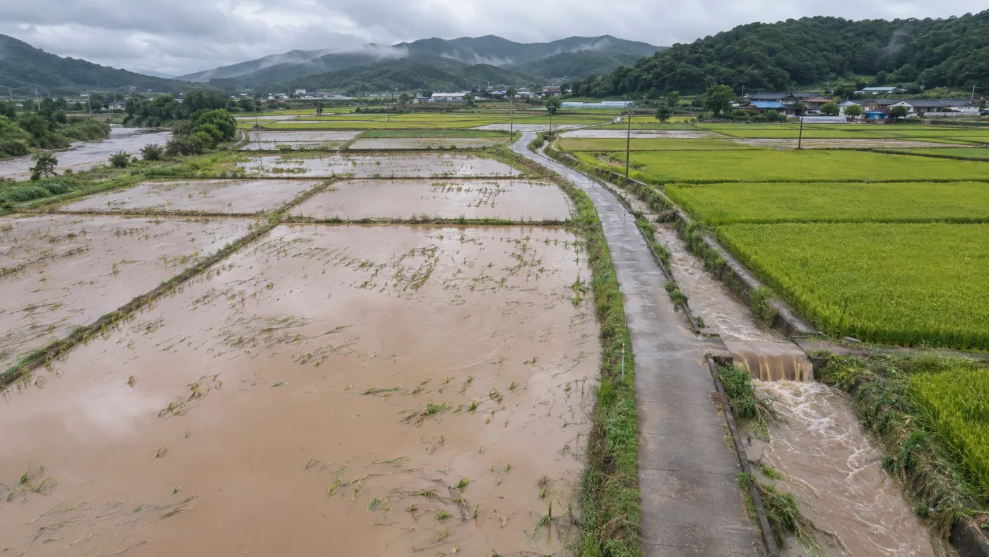
To check paddy flooding widely right after the monsoon or a typhoon, radar satellites answer first because they see through cloud.
Flood damage peaks just as the rain stops, which is exactly when the sky is full of cloud and optical satellites cannot see the ground.
Category: Satellite analysis
Radar sends a signal; calm water does not send it back
Radar satellites emit their own signal and record what returns, so they work at night and through cloud. The Copernicus Sentinel-1 is the best-known open radar mission. Calm water reflects the signal away like a mirror, so flooded paddies look dark.
Finding flood cells with radar
Keep the radar signal from before the event.
Take the radar image after the event, cloud or not.
Find cells that are low after and dropped sharply from before.
Map suspected flood cells and area (ha).
In the TERRASENSE example screen, below −18 dB with a 3 dB drop is shown as flood evidence.
Optical and radar fill each other’s gaps
Optical vs. radar satellites
Blocked
Sees through
No
Yes
Crop growth (NDVI, NDMI)
Water vs. land, flooding
Damage grades
Flood checks
A flood cell is evidence, not a verdict
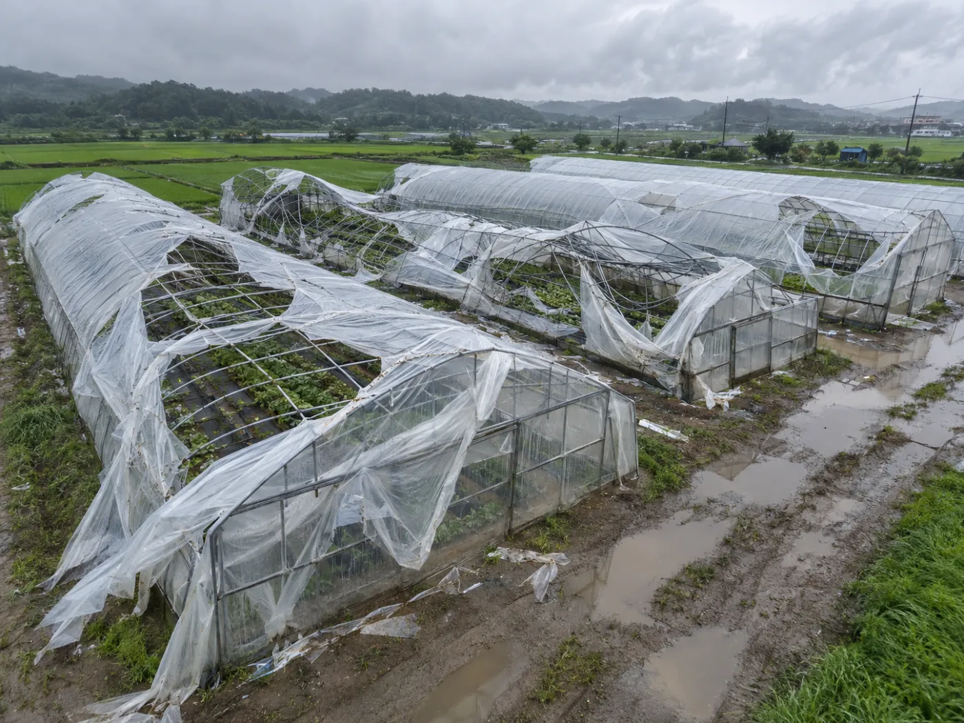
A paddy that drained in a day and one that stayed under water for days are damaged differently. Flood cells inform the choice of survey points; the damage itself is confirmed in the field.
TERRASENSE puts flooding and growth damage on one map
Register a rain or typhoon event and TERRASENSE maps Sentinel-1 flood cells and Sentinel-2 damage grades together, then picks up to three worst-hit points and one healthy control. See radar flood detection for details.
Frequently asked questions
Is radar imagery free?
Yes, Sentinel-1 data is published free by the Copernicus programme.
Does it image during rain?
Radar images regardless of cloud, rain or night, but only on the days the satellite passes.
Can it see a flood after the water drains?
Hardly. After drainage, later growth change and the field survey take over.
Want to know which fields to check first after the next storm?
We start with a satellite screening of your county or portfolio and compare it with your own field survey records.
Request a demo →Edited and answered by the MomentCube TERRASENSE team / james@momentcube.com · +82-32-212-1011