From orbit to the loss report.
How one disaster flows through TERRASENSE, step by step, with a clear line between what satellites look at first and what people decide.
Flow
Four steps.
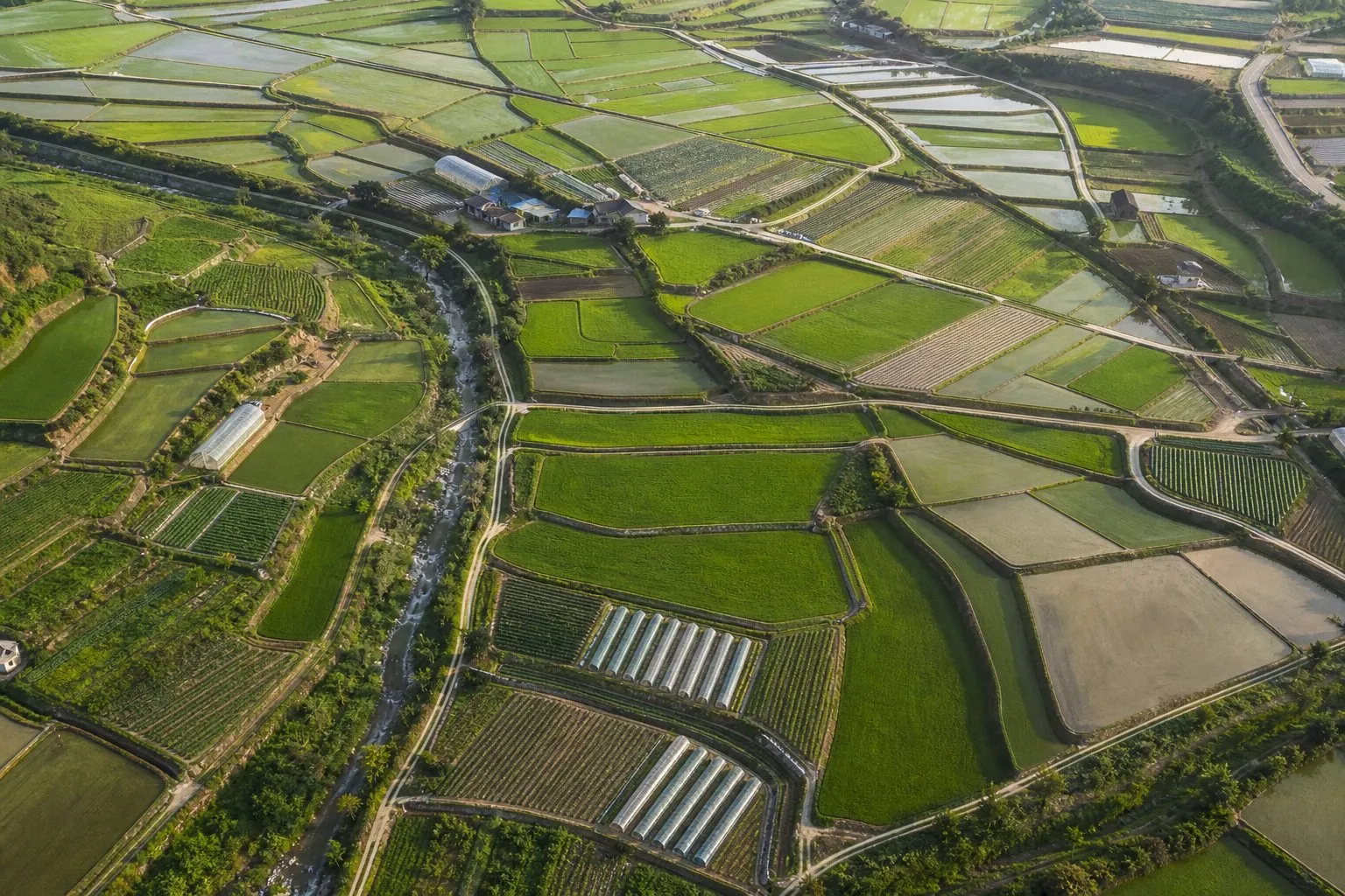
1. Register fields
Search a place or click the map, mark the field corners, name it and save. Parcel candidates (SAM2) can guide you.
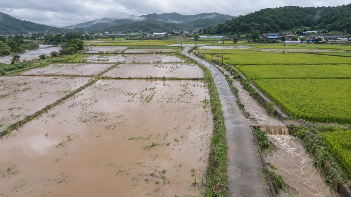
2. Register a disaster
Pick the date a typhoon, heavy rain, drought, hail or cold snap passed, and the fields affected.
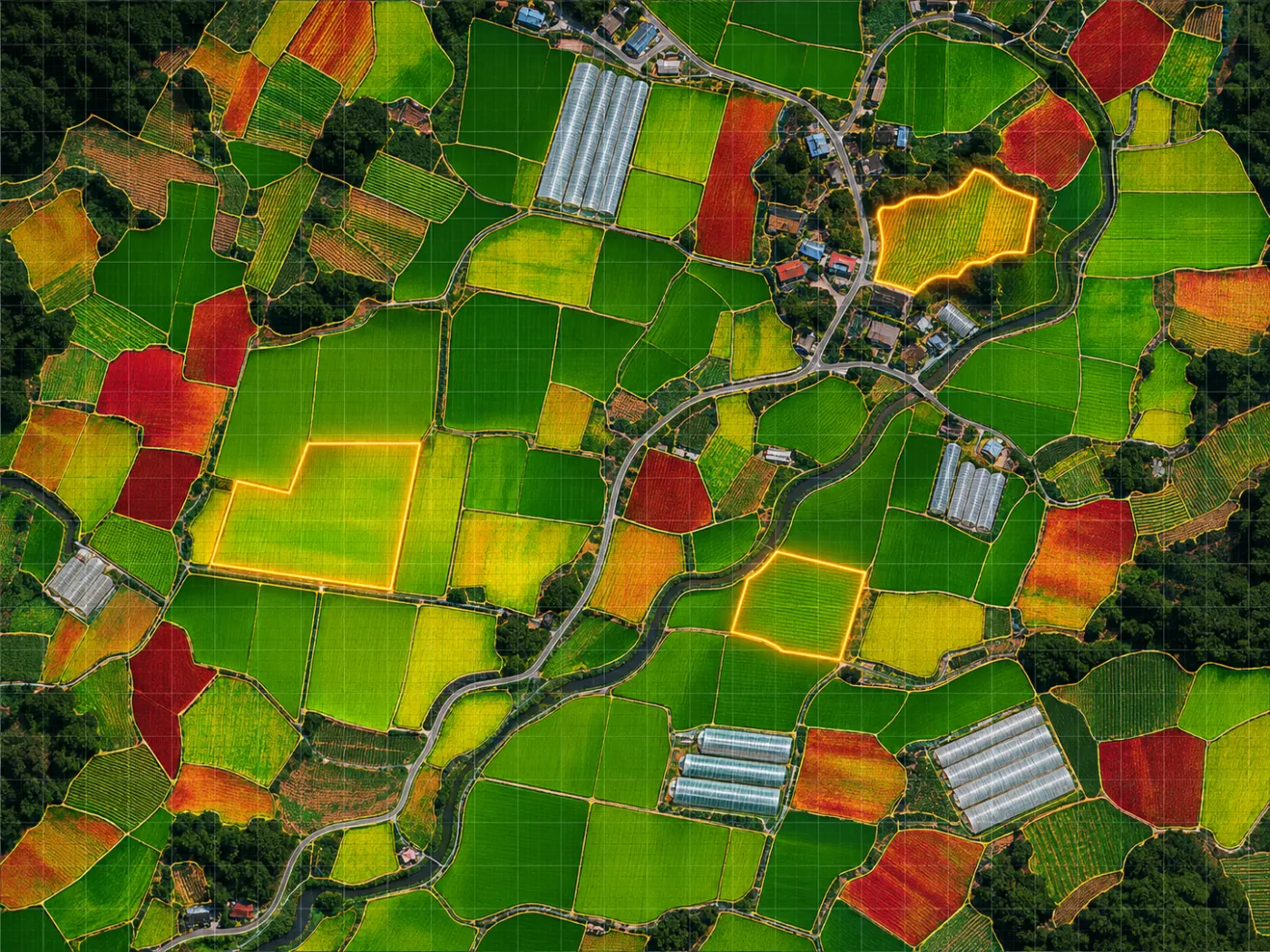
3. Before/after comparison
Sentinel-2 scenes are paired to grade NDVI loss per 10 m; rain and typhoons add Sentinel-1 flood detection.
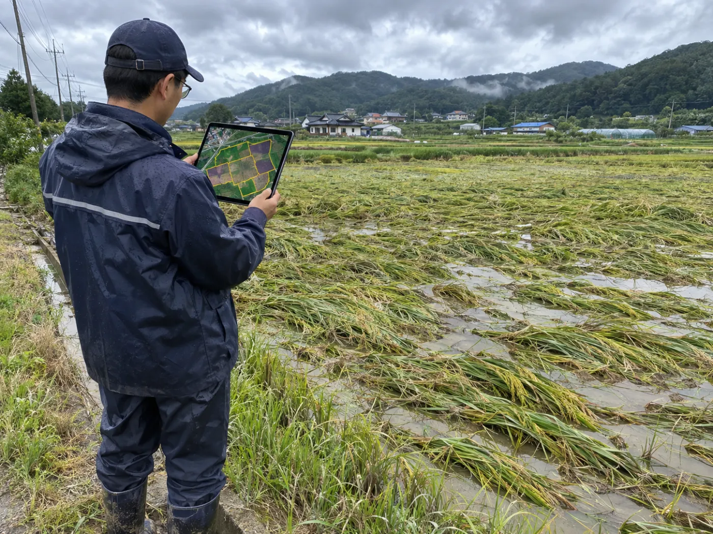
4. Survey points and report
Coordinates for 3 damage points and 1 control, a damage map and a draft report.
Three stages
Satellite → field AI → report
Stage 1 is available now. Stages 2 and 3 roll out during the pilot.
| Stage | What it does | Result | Status |
|---|---|---|---|
| 1 · Satellite wide-area analysis | Sentinel-2 and Sentinel-1 before/after | Damage-suspect area, loss share, floods, survey points | Available |
| 2 · Vision-AI field survey | Reads photos at the points for lodging, flooding, fruit drop | Damage points plus healthy control, read | Coming |
| 3 · Loss-assessment report | Bundles satellite and field results | Draft for the certified assessor | Satellite PDF now, combined draft coming |
Everyday
It keeps working between disasters.
A record of normal growth is what makes the change after a disaster clear.
Growth screening
NDVI, NDMI and growth stage per cell for paddy, upland and orchard. 240 a year.
Early warnings
Water stress and growth lag flag fields to check before they become losses.
Rescreen reminders
Fields not screened for 14 days are marked rescreen due.
What it does not do
Clear lines.
TERRASENSE numbers are screening results. It does not do the following.
Insurance review or loss assessment
It does not replace crop-insurance review or the loss assessment (loss rate, indemnity).
Yield or crop surveys
No yield (t/ha), shipping dates or official crop surveys.
Official boundaries
Parcel candidates are not cadastral or official boundaries and are not for land-use or direct-payment reviews.
TERRASENSE is a satellite first screening of suspected damage. It does not replace the crop-insurance loss assessment: the loss rate and indemnity are confirmed by a certified loss assessor in the field.
FAQ
Frequently asked questions
How soon after a disaster are results ready?
Once a clear scene is captured after the event. Sentinel-2 revisits about every 5 days; when it is cloudy we wait for the next clear scene. Floods are checked with radar regardless of cloud.
Do we still survey in the field?
Yes. TERRASENSE tells you where to look first so the field survey is faster and smaller. The final verdict comes from the field.
Can results go into other systems?
Survey points export as CSV and GeoJSON, reports as PDF.
Work with us
See your county’s fields from orbit, before the next storm.
We start with a satellite screening of your area from public data, then compare the results with your own field survey records. No equipment goes in the field.