Watch growth every day, compare instantly when disaster hits.
TERRASENSE reads paddy, upland and orchard fields from Sentinel-2 and computes growth stage, NDVI and NDMI cell by cell. The subscription includes 240 growth screenings a year.
Method
Greenness and moisture.
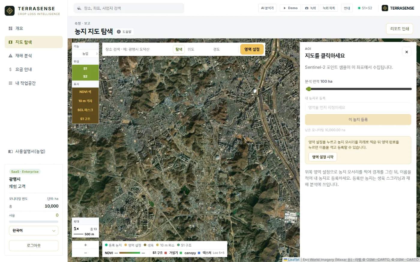
NDVI is greenness: more healthy leaves, higher values. NDMI is leaf moisture: when it falls, water stress becomes a candidate. Search a place or click the map to overlay a 10 m NDVI grid.
- Paddy, upland or orchard (base temperature 10, 5, 7 °C)
- About 400 m around a point, or an area you draw
- Growth stage, NDVI, NDMI and water-stress candidate per cell
- Monthly NDVI curve with Open-Meteo degree-days and rainfall
- Screening report PDF
Calls
Four signals, early.
The growth stage is one of green-up, vegetative, peak or senescence, picked from the shape of the NDVI curve. It is not a heading or harvest date.
Water stress suspected
NDMI below the growing-season baseline: drought, poor irrigation or heat.
Growth lag suspected
NDVI below the expected value: flooding, lodging, pests or cold.
Rescreen due
Never screened or more than 14 days ago. Sentinel-2 revisits about every 5 days.
Low warning signs
Within the expected range. When disaster strikes, this record is the baseline.
Specification
Data, method and outputs
| Item | Detail |
|---|---|
| Data | Sentinel-2 L2A (10 m), Open-Meteo weather |
| Indices | NDVI (greenness), NDMI (moisture) |
| Crops | Paddy · upland · orchard (user choice) |
| Extent | About 400 m around a point or a drawn area |
| Outputs | Growth stage, NDVI and NDMI grid, monthly curve, degree-days, report PDF |
| Quota | 240 a year (shared with field boundary detection) |
TERRASENSE is a satellite first screening of suspected damage. It does not replace the crop-insurance loss assessment: the loss rate and indemnity are confirmed by a certified loss assessor in the field.
FAQ
Frequently asked questions
Does it estimate yield?
No. It does not give yield (t/ha), shipping dates, official crop surveys or crop-insurance reviews. It screens growth condition.
Does it work on small plots?
The 10 m grid suits large paddy blocks and is weaker on small plots. Forest pixels mixed in can push NDVI up.
What about the monsoon?
Very cloudy months lose their scenes. Cloudy scenes are skipped for the next clear one.
Related pages
Work with us
See your county’s fields from orbit, before the next storm.
We start with a satellite screening of your area from public data, then compare the results with your own field survey records. No equipment goes in the field.