Check it on your own cases first.
We re-analyse past disasters from orbit and compare them with your field survey records, then validate in live operation over the next disaster season.
Process
How a pilot runs.
Scope
Agree the county or field list, main crops (paddy, upland, orchard) and the past events to revisit.
Revisit past events
Re-analyse past disasters from orbit and compare with your field survey records.
Live season
Run everyday growth screening and disaster analysis through the monsoon and typhoon season.
Forms and process
Fit survey points and the draft report to your forms and procedures.
Partners
Who we work with
County farm offices
Local disaster cases and survey records.
Loss-adjusting firms
Field usefulness of damage and control points.
Insurers
Fit of routes and draft reports to the workflow.
NongHyup · farm corporations
Everyday growth records of members’ fields.
Stages 2–3 (vision-AI field survey, combined satellite + field draft) roll out during the pilot.
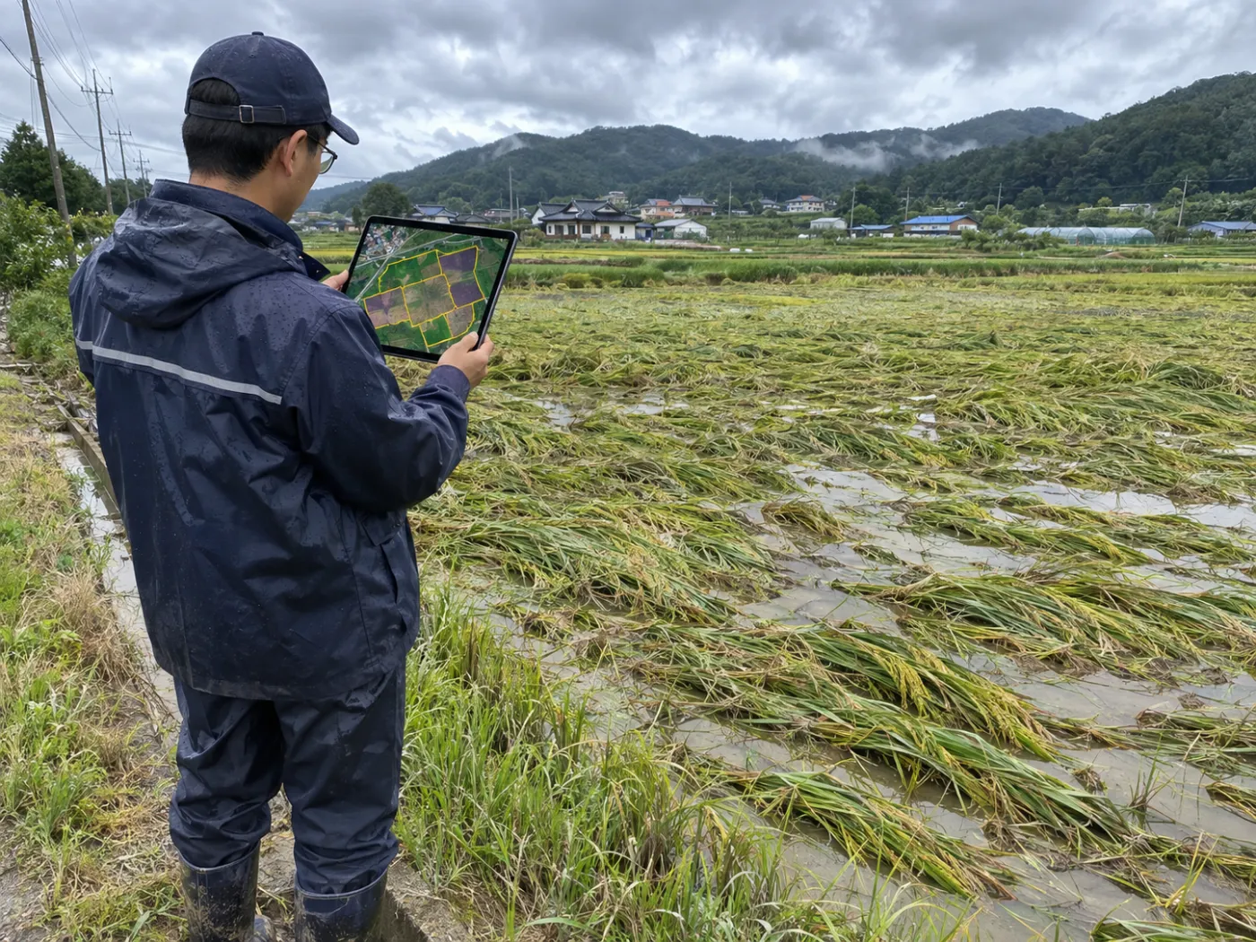
What to bring
Helpful material
You can start with very little. Satellite data is public, so there is nothing to prepare on that side.
- Target area or field list (addresses or coordinates)
- Main crops and growing calendar
- Past disaster dates and field survey records (if any)
- Report forms (if any)
TERRASENSE is a satellite first screening of suspected damage. It does not replace the crop-insurance loss assessment: the loss rate and indemnity are confirmed by a certified loss assessor in the field.
Work with us
See your county’s fields from orbit, before the next storm.
We start with a satellite screening of your area from public data, then compare the results with your own field survey records. No equipment goes in the field.