A subscription that supports crop-disaster loss assessment.
When disaster strikes, get damage-suspect area and survey points for a whole county’s farmland right away.
Enterprise
$35,000USD per year- Monitoring area 10,000 ha
- 240 growth screenings a year
- Disaster analysis · damage map · survey points
- Loss-assessment draft report (PDF)
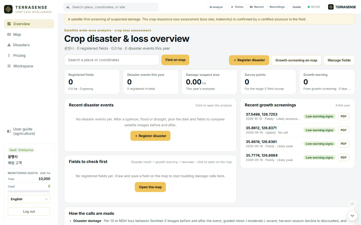
TERRASENSE is a satellite first screening of suspected damage. It does not replace the crop-insurance loss assessment: the loss rate and indemnity are confirmed by a certified loss assessor in the field.
What’s included
undefined
Stage 1 · Satellite analysis
Disaster events, Sentinel-2 before/after, Sentinel-1 flood detection for rain and typhoons, 10 m damage map with suspect area and share, survey points CSV/GeoJSON, report PDF.
Everyday · Growth screening
Paddy, upland and orchard stage, NDVI and NDMI, early water-stress and growth-lag warnings, degree-days and rainfall with monthly curves, 240 a year, growth report PDF.
Stages 2–3 · Coming
The vision-AI field survey (photo reading at the points) and the combined satellite + field draft report roll out during the pilot.
Who uses it
undefined
County farm offices
Narrow down damaged fields right after a disaster and order the field checks.
Learn more →Crop insurers · loss adjusters
Use survey points and damage maps to plan routes and cut samples.
Learn more →NongHyup · farm corporations
Watch members’ fields with growth screening and compare at once when disaster hits.
Learn more →FAQ
Frequently asked questions
Is the Korean price different?
In Korea the subscription is KRW 48 million a year, excluding VAT.
What if our area is larger or smaller than 10,000 ha?
Tell us your scope and area and we reply by email with a quote and quotas.
Can we try it first?
A pilot partnership lets you compare results on your own past events first. Get in touch via the contact page.
Work with us
See your county’s fields from orbit, before the next storm.
We start with a satellite screening of your area from public data, then compare the results with your own field survey records. No equipment goes in the field.