Plan survey routes and samples from orbit first.
Loss-adjusting firms and insurers prepare field surveys with survey points and damage maps. The certified assessor makes the final call.
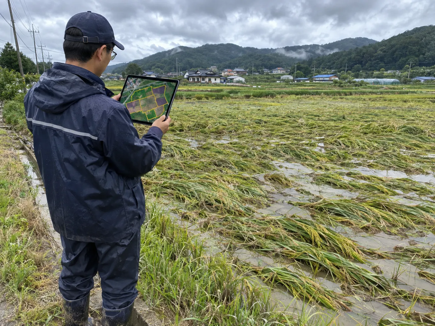
In practice
Where to look, and against what.
For each field TERRASENSE picks up to three of the worst-hit points and one healthy control. Surveyors take those coordinates into the field.
- Damage points D1–D3 + healthy control C1
- CSV and GeoJSON for field apps and GIS
- PDF with before/after images and the damage map
- Field photo reading (stage 2, coming)
Benefits
More time for judgement.
Satellites and AI do the finding and tidying first; assessors focus on the field call and confirmation.
Routes
Plan routes starting from the most suspect fields and points.
Controls
Compare with a healthy point in the same field to isolate disaster effects.
Evidence
Attach a before/after comparison on one standard to the survey record.
FAQ
Frequently asked questions
Is the loss share used as is?
No. It is a satellite first value. The loss rate and indemnity are confirmed by the certified assessor in the field.
Which disasters?
Typhoon, heavy rain, drought, hail and cold-snap events can be registered; rain and typhoons add radar flood detection.
Is photo reading available?
The stage-2 vision-AI field survey for lodging, flooding and fruit drop is in preparation and rolls out during the pilot.
TERRASENSE is a satellite first screening of suspected damage. It does not replace the crop-insurance loss assessment: the loss rate and indemnity are confirmed by a certified loss assessor in the field.
Related pages
Work with us
See your county’s fields from orbit, before the next storm.
We start with a satellite screening of your area from public data, then compare the results with your own field survey records. No equipment goes in the field.