Narrow down damaged fields in your county, from orbit.
After a typhoon or heavy rain, get the damage-suspect area and survey points for your county’s fields first, then set the order of field checks.
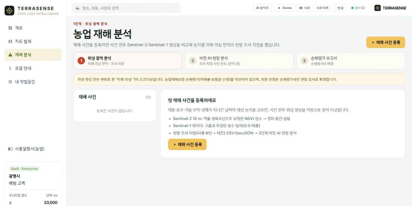
In practice
The day after: what to do first.
Register the disaster and TERRASENSE compares the before and after images of every registered field. Survey the most suspect fields first and share the damage map.
- County-level monitoring area of 10,000 ha
- Fields ranked by damage-suspect area and loss share
- Radar flood cells after rain and typhoons
- Survey coordinates for field teams (CSV, GeoJSON, PDF)
Benefits
Time and evidence.
It does not replace field surveys. It helps them go where they are needed most, first.
Order
Send field teams to the most suspect fields first.
One standard
Keep a record that compares every field on the same satellite basis.
Everyday
Between disasters, growth screening keeps an eye on county farmland.
FAQ
Frequently asked questions
Can we cover the whole county?
The subscription covers up to 10,000 ha. Start with the main farmland and grow from there.
Can results go straight into damage tallies?
It is a first screening of suspected damage. Official tallies and loss assessment are confirmed in the field.
Does staff need training?
It runs in a browser and includes a user guide and a guided Demo mode.
TERRASENSE is a satellite first screening of suspected damage. It does not replace the crop-insurance loss assessment: the loss rate and indemnity are confirmed by a certified loss assessor in the field.
Related pages
Work with us
See your county’s fields from orbit, before the next storm.
We start with a satellite screening of your area from public data, then compare the results with your own field survey records. No equipment goes in the field.