See floods after a cloudy typhoon, with radar.
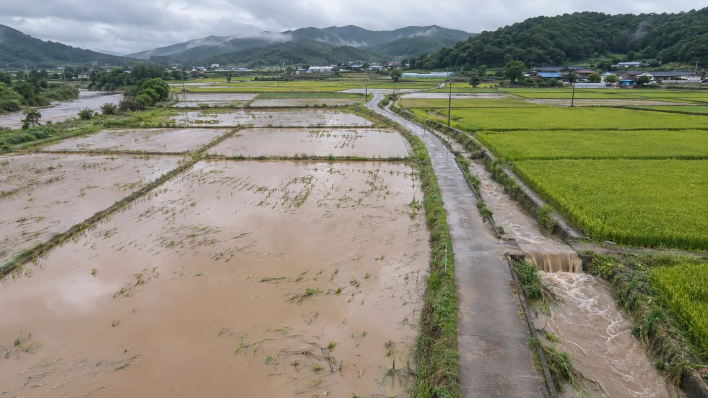
After heavy rain or a typhoon, optical images are often blocked by cloud. TERRASENSE uses Sentinel-1 radar, which works through cloud, to find flooded cells.
Method
Calm water looks dark to radar.
Radar sends out a signal and records what comes back. Flooded paddies return very little, so they look dark. Cells whose signal dropped sharply after the event are marked as suspected floods.
- Sentinel-1 VV-polarised radar
- Works regardless of cloud, rain or night
- Low backscatter after the event plus a sharp drop from before (example screen: below −18 dB, a 3 dB drop)
- Flooded area (ha) shown next to the damage-suspect area
Outputs
Flood cells sit on the same damage map.
Growth damage seen optically and floods seen by radar are on one map, so flood checks continue even when optical scenes are lost to cloud.
Suspected flood cells
10 m cells whose radar signal dropped sharply after the event, often first around drains.
Flooded area (ha)
Summed per field and shown alongside the damage-suspect area.
Linked to survey points
Flooded cells are taken into account when survey points are picked.
Specification
Data, method and outputs
| Item | Detail |
|---|---|
| Data | Sentinel-1 (C-band radar, VV) |
| Call | Low backscatter after the event + drop from before |
| Weather | Independent of cloud, rain and night |
| Use | Flood checks after heavy rain or typhoons |
| Outputs | Suspected flood cells, flooded area (ha) |
TERRASENSE is a satellite first screening of suspected damage. It does not replace the crop-insurance loss assessment: the loss rate and indemnity are confirmed by a certified loss assessor in the field.
FAQ
Frequently asked questions
Why radar?
Just after heavy rain or a typhoon there is often too much cloud for optical satellites. Radar sees through cloud and can confirm flooding.
Does radar grade crop damage too?
Radar is used mainly to confirm flooding. Crop damage is graded from Sentinel-2 NDVI change, and both appear on one map.
Is a flooded cell automatically a loss?
No. Flooding is one piece of evidence. The final verdict comes from the certified assessor in the field.
Related pages
Work with us
See your county’s fields from orbit, before the next storm.
We start with a satellite screening of your area from public data, then compare the results with your own field survey records. No equipment goes in the field.