Find damage-suspect fields from before-and-after satellite images.
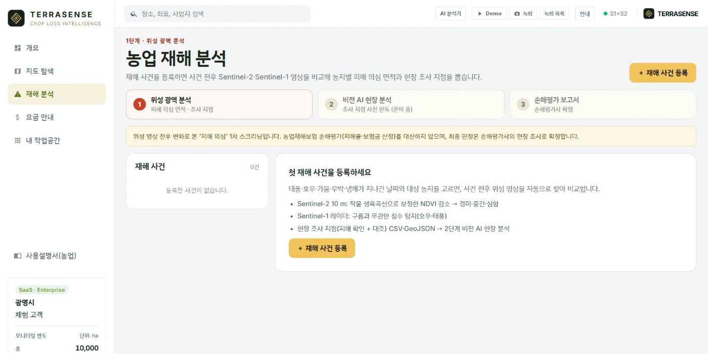
Register a disaster and TERRASENSE finds Sentinel-2 images from before and after the event and grades every 10 m cell by how far its vegetation index (NDVI) dropped.
Method
Same field, same yardstick, before and after.
Pick the date a typhoon, heavy rain, drought, hail or cold snap passed and the fields affected. TERRASENSE pairs a scene from before with one from after and computes the NDVI change (ΔNDVI) cell by cell.
- Automatic Sentinel-2 L2A (10 m) scene pick before and after
- NDVI loss corrected with the crop growth curve, graded minor / moderate / severe
- Normal harvest-season decline is discounted
- Cloud cells (SCL mask) are left out
- Rain and typhoons add Sentinel-1 radar flood detection
Outputs
Three numbers and one map per field.
Each field gets a damage-suspect area, a loss share and area by grade, all drawn on a 10 m damage map.
Damage-suspect area (ha)
The summed area of graded cells, with severe and minor areas shown separately.
Loss share
The share of the field taken by suspect cells. A satellite first value, not the loss rate of the assessment.
10 m damage map
Cells coloured minor, moderate or severe, with flood cells and survey points on the same map.
Specification
Data, method and outputs
| Item | Detail |
|---|---|
| Data | Sentinel-2 L2A (optical, 10 m) · Sentinel-1 VV (radar) for rain and typhoons |
| Comparison | Scene before ↔ scene after, ΔNDVI per cell |
| Correction | Crop growth curve (seasonal), harvest decline discounted, cloud cells dropped |
| Grades | Minor · moderate · severe |
| Outputs | Damage-suspect area (ha), loss share, area by grade, 10 m damage map, survey points |
TERRASENSE is a satellite first screening of suspected damage. It does not replace the crop-insurance loss assessment: the loss rate and indemnity are confirmed by a certified loss assessor in the field.
FAQ
Frequently asked questions
Does the satellite identify the crop?
No. Paddy, upland or orchard is chosen by the user; the satellite does not classify crops.
Can the loss share be used for indemnity?
No. It is a first screening from before/after imagery. The loss rate and indemnity are confirmed by a certified assessor in the field.
How do you tell harvest from damage?
In harvest season the normal decline for that period is discounted. Cells that still stand out go to the survey points for a field check.
Related pages
Work with us
See your county’s fields from orbit, before the next storm.
We start with a satellite screening of your area from public data, then compare the results with your own field survey records. No equipment goes in the field.