Crop loss assessment, and where satellite first screening fits in
When a disaster touches farmland across a whole county, a satellite first screening is the tool that decides where to look first.
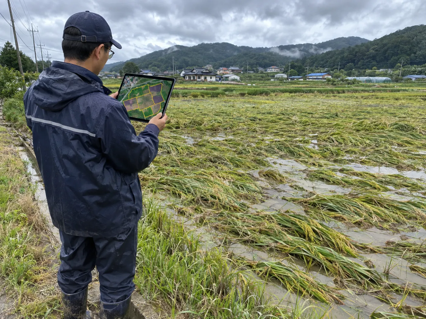
After a typhoon or heavy rain, many fields in one county are hit at once. Confirming the damage starts in the field, and field surveys take people and time.
This article sets out where the loss assessment is confirmed, what satellites can see before that, and what a first screening can and cannot do.
Category: Crop loss assessment
Crop losses are confirmed in the field
In crop insurance, the loss rate and indemnity are set after a field survey by qualified assessors who look at the field and judge the damage. That does not change when satellites arrive. What can change is the order and preparation before it.
How one disaster gets to a final verdict
A typhoon, heavy rain, drought, hail or cold snap passes.
Before/after images pick damage-suspect fields and survey points.
Points are checked with photos and measurements.
The loss rate and indemnity are confirmed.
TERRASENSE handles step two.
Satellites see the before and after widely, on one standard
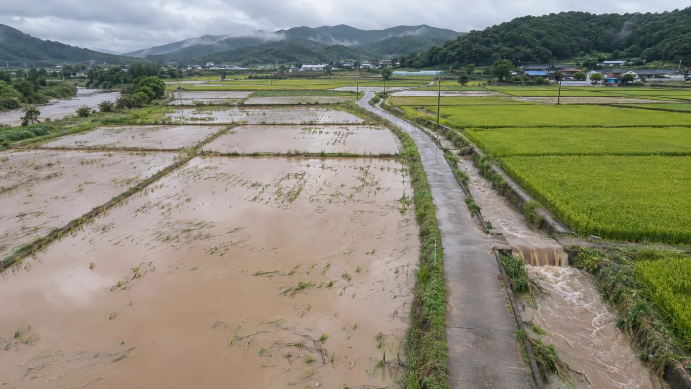
The Copernicus Sentinel-2 satellites revisit the same place about every five days at 10 m. Pair a clear scene before the disaster with one after and you can compute how far NDVI dropped in every cell.
After rain and typhoons, cloud often blocks optical scenes. Then Sentinel-1 radar, which sees through cloud, finds flooded cells separately.
What a first screening does and does not do
Confirm loss rate or indemnity
Flag suspect fields and grades (minor, moderate, severe)
Replace the field survey
Give survey coordinates (3 damage + 1 control)
Provide official parcels
Offer parcel candidates (for reference)
Estimate yield
Screen growth condition
Why a healthy control point comes with the damage points
Looking only at the worst spots makes it hard to tell disaster from ground that always grows poorly. So for each field TERRASENSE picks up to three of the worst-hit points plus one healthy point in the same field as a control, exported as CSV or GeoJSON for field apps and GIS.
TERRASENSE does the finding and tidying first
Register a disaster and TERRASENSE compares the before and after images and produces the damage-suspect area, loss share, a 10 m damage map and survey points. A vision-AI field survey that reads photos from the points, and a combined satellite + field draft report, roll out during the pilot.
For the method in detail, see disaster damage analysis.
Frequently asked questions
Can satellite results set the indemnity?
No. They are a first screening of suspected damage. The loss rate and indemnity are confirmed in the field.
Will field surveys shrink?
Knowing where to start and what to compare against helps cut routes and samples. It does not remove the survey.
Which disasters?
Typhoon, heavy rain, drought, hail and cold-snap events; rain and typhoons add radar flood detection.
Want to know which fields to check first after the next storm?
We start with a satellite screening of your county or portfolio and compare it with your own field survey records.
Request a demo →Edited and answered by the MomentCube TERRASENSE team / james@momentcube.com · +82-32-212-1011